
How to Make Your First Map in QGIS: A Beginner's Step-by-Step Guide
How to make your first map in QGIS: a beginner's step-by-step guide from installing the software to exporting a finished map.
225 stories published in 2026
How to make your first map in QGIS: a beginner's step-by-step guide from installing the software to exporting a finished map.
Free satellite imagery sources: where to download Landsat, Sentinel, and other open data in 2026, and how to choose.
What is LiDAR? How laser mapping builds 3D worlds, from airborne surveys to the sensor in your phone.
How to georeference an old map in QGIS: a practical walkthrough from scanning to a map that lines up with modern data.
Best free GIS data sources: OpenStreetMap, Natural Earth and more, and how to find the data your project needs.
What is a shapefile? GIS file formats explained for beginners, from shapefiles to GeoPackage and GeoJSON.
How to create a heat map in QGIS: turn point data into patterns with kernel density, styling and the right colour ramp.
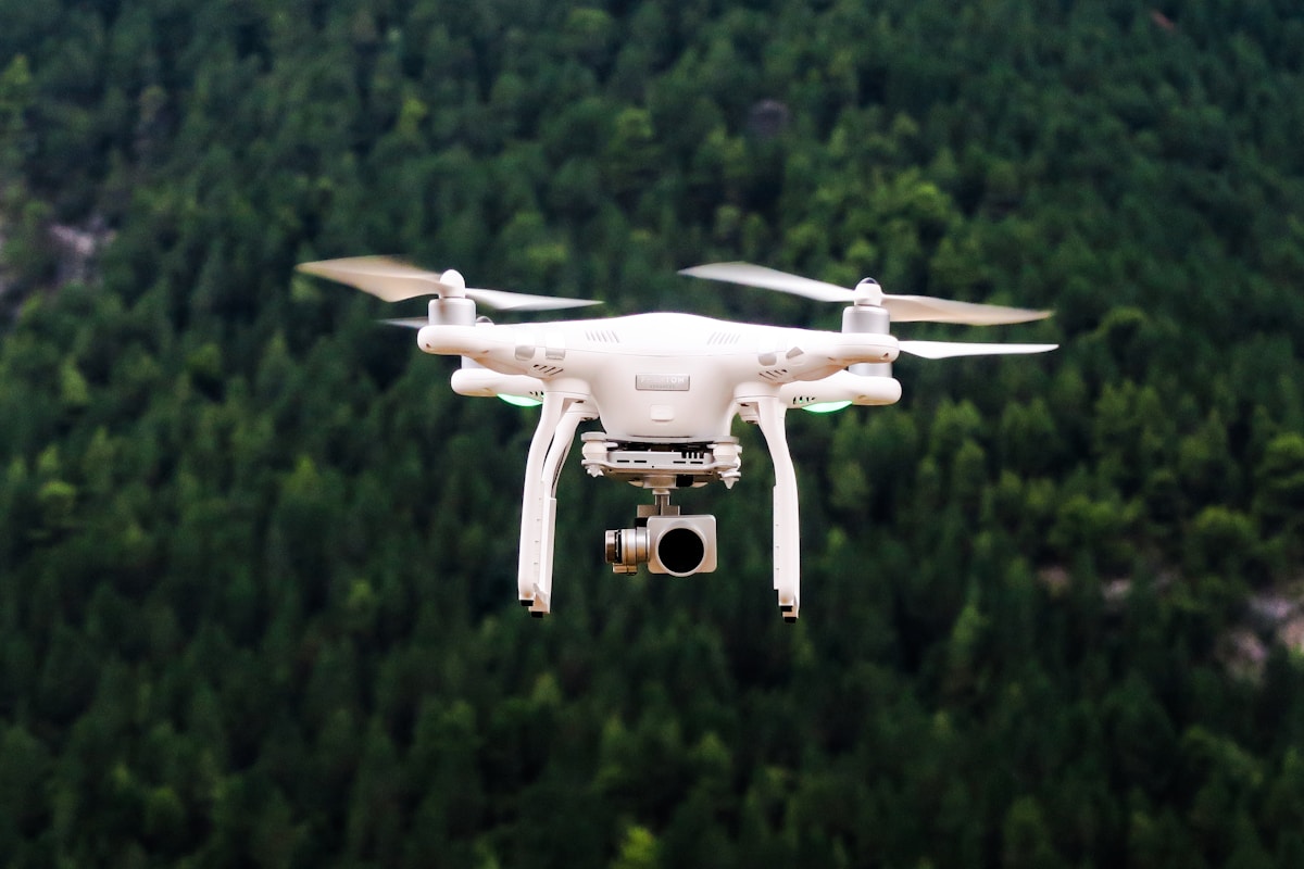
Drone photogrammetry basics: from overlapping photos to 3D models, with flight planning, ground control and software choices.
What is remote sensing? How satellites see the Earth, from multispectral imagery to radar, and what the data is used for.