10 Free Satellite Imagery Sources in 2026: Sentinel, Landsat and More
- Primary Signal: 10 Free Satellite Imagery Sources in 2026: Sentinel, Landsat and More
- Overview: Free satellite imagery has never been better, with 10-metre data updated every five days. Compare the 10 best free sources for 2026, from Copernicus and USGS to NASA Worldview and ...
- Verification: Analyzed and compiled by FreeSky GeoData editorial monitoring desk.
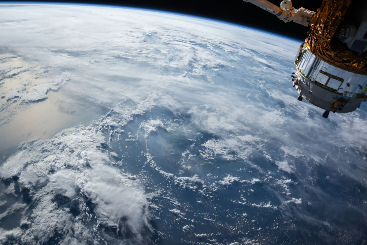
Free satellite imagery is more available today than at any point in history. Europe's Sentinel-2 satellites image every point on Earth at 10-metre resolution roughly every five days, the USGS Landsat archive stretches back to 1972, and NASA's new NISAR radar mission opened its data to the public in 2026. The challenge is not finding data but choosing the right source for your job, because each platform has different strengths, resolutions, and access methods. This guide compares the ten free sources worth knowing in 2026, what each one is best at, and where each one stops being enough.
The Copernicus Browser is the source of truth for Sentinel data. Sentinel-2 images every point on Earth at 10-metre resolution roughly every five days, and the browser lets you search, preview, and download the full rasters for free. Sentinel-1 adds radar imagery that sees through clouds, which is essential in tropical regions. USGS EarthExplorer is the front door to the Landsat archive, the longest continuous satellite record there is, with 30-metre imagery back to 1972. Landsat 8 and 9 scenes become available within about six hours of acquisition. For most projects, these two sources cover everything: Sentinel-2 for current, high-resolution work, and Landsat for historical change detection over decades.
NASA Worldview is the fastest way to see the planet: whole-Earth imagery from MODIS and VIIRS, often only hours old, in a simple browser viewer. It is ideal for checking fires, floods, and storms as they happen, though it is a viewer, not a download service. NASA Earthdata Search is the research-grade counterpart, with hundreds of science datasets in one search, from precipitation to ocean colour. Google Earth Engine is different again: it is a cloud platform that lets you analyse petabytes of satellite data without downloading anything, using JavaScript or Python. It is free for research and education, and it is the best tool for large-area analysis, such as mapping deforestation across a whole country. The trade-off is a learning curve and a code-based workflow.
The most exciting new free source in 2026 is NISAR, the NASA-ISRO radar mission, which opened its data to the public this year. NISAR provides 5 to 10-metre radar imagery that sees through clouds and darkness, with regular repeat passes that make it excellent for monitoring ground deformation, ice movement, and forest change. Maxar's Open Data Program releases free high-resolution imagery during major disasters, which is invaluable for emergency response, though it is event-based rather than continuous. Pera Portal offers a free tier with unlimited Sentinel-2 browsing and more than 45 pre-configured spectral indices, including NDVI and NDWI, computed in the browser without any download or setup. Together, these newer sources fill gaps the established platforms leave open.
Free data has real limits, and knowing them saves wasted effort. Free downloadable data tops out at 10-metre resolution, so you can see fields and buildings as shapes, not details. Most free imagery basemaps are updated every few months to years, and live satellite imagery is not available with current technology. You cannot task a free satellite: if nothing captured your site cloud-free recently, there is nothing to download. Cloud cover remains the primary obstacle for optical sensors such as Landsat and Sentinel-2, which is why radar sources like Sentinel-1 and NISAR matter. For sub-metre detail or a guaranteed capture on a specific date, you need a commercial tasked order, which can cost hundreds to thousands of dollars. For most research, agriculture, and monitoring work, though, the free sources are more than enough.
What is the best free satellite imagery source? Sentinel-2 via the Copernicus Browser is the best all-round choice: 10-metre resolution, five-day revisit, and free downloads. How far back does free satellite imagery go? Landsat goes back to 1972, the longest continuous record. Is free satellite imagery really live? No. The freshest free imagery is hours old at best, and most is days to months old. Can I use free satellite imagery commercially? Generally yes, but check the licence for each source; most government data is open. What resolution can I get for free? Up to 10 metres for downloadable data, and sharper imagery in viewers such as Bing Maps and ArcGIS Wayback.
More from FreeSky GeoData