What Is Remote Sensing and How Does It Work?
- Primary Signal: What Is Remote Sensing and How Does It Work?
- Overview: Remote sensing measures the Earth from a distance using satellites and aircraft sensors. Learn how spectral signatures, NDVI and free satellite data turn reflected light into maps....
- Verification: Analyzed and compiled by FreeSky GeoData editorial monitoring desk.
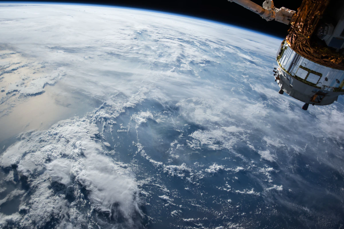
Remote sensing is the measurement of information about an object or place without touching it, using sensors on satellites or aircraft. The sensors record reflected or emitted electromagnetic energy, and software turns those readings into maps and measurements.
Every object above absolute zero, which is minus 273 degrees Celsius, reflects, absorbs and emits electromagnetic energy in a unique pattern. That pattern is its spectral signature. Healthy leaves reflect a lot of near-infrared light and little red light. Bare soil reflects both more evenly. A sensor that measures both bands can tell them apart without anyone visiting the field.
Passive sensors read sunlight reflected from the Earth. Landsat and Sentinel-2 are passive: they carry no light source of their own. Active sensors send out their own signal and read the echo. Sentinel-1 radar sends radio waves that pass through cloud and work at night. LiDAR sends laser pulses and measures the return time to map height, which is how forests and buildings are measured in 3D.
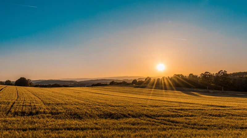
Worked example: NDVI, the vegetation index. The formula is NDVI = (NIR minus Red) divided by (NIR plus Red), and the result runs from minus 1 to plus 1. Take a healthy wheat field that reflects 40% near-infrared light and 4% red light: (0.40 minus 0.04) divided by (0.40 plus 0.04) equals 0.36 divided by 0.44, which is 0.82, meaning dense healthy vegetation. Take sparse cover reflecting 25% near-infrared and 8% red: (0.25 minus 0.08) divided by (0.25 plus 0.08) equals 0.17 divided by 0.33, which is 0.52. Take bare ground reflecting 12% near-infrared and 10% red: (0.12 minus 0.10) divided by (0.12 plus 0.10) equals 0.02 divided by 0.22, which is 0.09. The rule of thumb is below 0.1 for bare ground, 0.2 to 0.5 for sparse cover, and 0.6 to 0.9 for dense cover. Sentinel-2 measures NDVI with bands B8 (near-infrared) and B4 (red) at 10 metres, and Landsat 8 and 9 use bands B5 and B4 at 30 metres.
Landsat has imaged the Earth continuously since 1972. Landsat 8 and 9 together give 30 metre multispectral imagery every 8 days, plus a 15 metre panchromatic band. Sentinel-2 carries 13 bands at 10 to 60 metre pixels and revisits every 5 days. Sentinel-1 is C-band radar that sees through cloud. MODIS and VIIRS image the whole planet daily at 250 metres to 1 kilometre. Commercial satellites reach about 30 centimetres. The trade-off is always the same: finer detail means a narrower view and a longer wait between images.
A raw satellite image is not yet a map. First comes calibration, which converts sensor counts into real physical values. Then atmospheric correction removes haze and water vapour. Then geometric correction lines the image up with the ground. Then cloud masking removes cloudy pixels. Then compositing merges several images into one clean view. Only then does analysis, such as an NDVI map, begin.
You can open free satellite imagery yourself in minutes. The Copernicus Browser shows Sentinel data with no account needed for browsing. USGS EarthExplorer gives Landsat data free after a free account. Google Earth Engine and Microsoft Planetary Computer both hold Landsat and Sentinel archives free for non-commercial use. Pick a place you know, switch to a false-colour view, and healthy vegetation will show up bright red.
Brazil's National Institute for Space Research has measured Amazon deforestation every year since 1988 using Landsat-class imagery. Farmers use NDVI to find stressed crops before the eye can see it. Disaster teams map monsoon floods with Sentinel-1 radar because radar sees through cloud when optical satellites cannot. The same data tracks glaciers, city growth, water quality and wildfire damage.
Remote sensing collects the data, and GIS stores, analyses and maps it. A satellite image is remote sensing; the map you build from it, combined with roads, boundaries and field records, is GIS. The two work together, and most GIS software can read satellite imagery directly.
Learn the basics of mapping data in What Is GIS and How Does It Work for Beginners? and how addresses become coordinates in What Is Geocoding and How Does It Work?
Q: Can I do remote sensing with a drone? A: Yes. A drone with a multispectral camera flies the same NDVI logic at centimetre detail over a single field, while satellites cover whole regions at 10 to 30 metres.
Q: What resolution do I need for my farm? A: Sentinel-2 at 10 metres suits fields larger than a few hectares. Landsat at 30 metres suits regional work. For a small farm or a single plot, a drone or commercial 30 centimetre imagery is the right scale.
Q: Is satellite data free? A: Landsat is free from USGS and Sentinel is free from the Copernicus Data Space Ecosystem. Both are also available in Google Earth Engine and Microsoft Planetary Computer.
Q: How accurate is remote sensing? A: Positional accuracy is typically within about one pixel: around 10 metres for Sentinel-2 and 30 metres for Landsat. The measurement itself, such as NDVI, still needs ground checks for the best results.
More from FreeSky GeoData