Best Free GIS Software for Beginners in 2026: The Complete Toolkit

- Primary Signal: Best Free GIS Software for Beginners in 2026: The Complete Toolkit
- Overview: QGIS, GRASS, QField, Leaflet and more: the best free GIS software of 2026, covering desktop mapping, field collection, web maps and remote sensing, all genuinely free....
- Verification: Analyzed and compiled by FreeSky GeoData editorial monitoring desk.
You do not need to spend a dollar to do professional GIS work in 2026. The free and open-source GIS ecosystem has matured to the point where a student, a freelancer or a small team can map, analyse and publish without a single licence fee. The tools below are the best free GIS software available today, covering desktop mapping, web mapping, field data collection and remote sensing, and every one of them is genuinely free, not a trial.
QGIS: The Free Desktop GIS
QGIS is the best free desktop GIS available, and it is the tool everything else on this list connects to. It is a complete GIS: cartography, geoprocessing, database connections, 3D views, print layouts and a plugin library of more than 1,800 extensions that stretch it into hydrology, remote sensing, network analysis and field data collection. It runs on Windows, macOS and Linux, it reads almost every spatial format in existence, and it is rated 4.5 out of 5 on G2, higher than the commercial ArcGIS Pro. For most desktop mapping, geoprocessing and cartography, QGIS covers more than 90 percent of what most users need, and the skills you learn in it transfer directly to any commercial GIS. If you install one tool from this list, install QGIS.
GRASS GIS and SAGA: The Analysis Engines
GRASS GIS is the oldest open-source GIS in the world, in continuous development since the 1980s, and it remains the deepest analytical engine available for free. Its strengths are raster analysis, hydrology, terrain modelling and image processing, and it is the tool behind much of the research published in environmental science. It has a steeper learning curve than QGIS, but QGIS includes GRASS tools in its Processing Toolbox, so you can use its power without leaving the QGIS interface. SAGA GIS is a lighter-weight companion with a strong set of terrain and geostatistics tools, and it also plugs into QGIS the same way. Together, QGIS, GRASS and SAGA give you an analytical toolkit that rivals any commercial package, for free.
Web Mapping and Field Collection
For web maps, Leaflet and MapLibre GL JS are the free JavaScript libraries that power most of the interactive maps on the internet, and they read GeoJSON natively, which makes them the natural companion to QGIS. For publishing maps online, QGIS Server and GeoServer turn your desktop project into a web service, and QGIS Cloud offers a free tier for hosting small projects. For field data collection, QField is the free mobile app that syncs with QGIS: you design the form on your desktop, take it into the field on an Android phone or tablet, and collect points, photos and attributes offline, then sync them back. Mergin Maps offers a similar workflow with cloud sync. For open data, OpenStreetMap is both a free basemap and a free dataset, and the QuickOSM plugin in QGIS lets you download its data directly into your project.
Remote Sensing and 3D
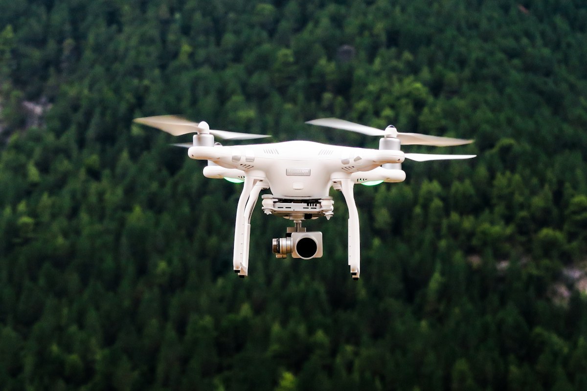
For satellite imagery, the Semi-Automatic Classification Plugin in QGIS downloads Sentinel-2 and Landsat data and runs classifications and vegetation indices without leaving the application. ESA's SNAP toolbox, free from the European Space Agency, is the specialist tool for processing Sentinel-1 radar and Sentinel-2 optical data at full depth. For drone mapping, WebODM is free and open source, turning aerial photos into orthomosaics, elevation models and point clouds. For 3D, QGIS 3.44 added a 3D Globe View, and the free CloudCompare tool handles point cloud visualisation and processing. Google Earth Engine, free for research and education, gives you the entire Landsat and Sentinel archives plus cloud computing to analyse them without downloading a file.
Building Your Free GIS Toolkit
Start with QGIS as your home base, add GRASS through the Processing Toolbox when you need deeper analysis, use QField for fieldwork, Leaflet or MapLibre for web maps, and the Semi-Automatic Classification Plugin for satellite work. That stack costs nothing, runs on any operating system, and covers the full GIS workflow from data collection to publication. The free tools are no longer the poor cousin of the commercial ones: for most users, they are the better choice, because they are open, scriptable, community-supported and free forever. Download QGIS today, open a dataset from OpenStreetMap, and make your first map before lunch.
More from FreeSky GeoData