What Is LiDAR? How LiDAR Mapping Works, Explained Simply
- Primary Signal: What Is LiDAR? How LiDAR Mapping Works, Explained Simply
- Overview: LiDAR fires millions of laser pulses at the ground and measures their return time, building point clouds that can see through forest canopy and map the bare earth. Here is how it w...
- Verification: Analyzed and compiled by FreeSky GeoData editorial monitoring desk.
LiDAR is the technology behind the most detailed maps ever made: the 3D models of cities, the elevation data that predicts floods, the forest surveys that count individual trees, and the archaeological discoveries of lost cities hidden under jungle canopy. It works by firing millions of laser pulses at the ground and measuring how long each one takes to come back. The result is a point cloud so detailed that it can see through trees, map a riverbed under water, and reveal a road that has been buried for a thousand years. Here is what LiDAR is, how it works, and where it is used.
What Is LiDAR?
LiDAR stands for Light Detection and Ranging, and it is the optical cousin of radar. A LiDAR sensor sends out rapid pulses of laser light, usually in the near-infrared, and measures the time it takes for each pulse to bounce off a surface and return. Because light travels at a known speed, the time of flight gives the distance to that surface with centimetre accuracy. A single sensor can fire hundreds of thousands of pulses per second, and as the sensor moves, on an aircraft, a drone, a car or a satellite, those pulses build up a dense cloud of millions of points, each with an X, Y and Z coordinate. That point cloud is the raw material of LiDAR mapping, and everything else, elevation models, 3D buildings, tree heights, is derived from it.
How LiDAR Sees Through Trees
The trick that makes LiDAR special is that a single laser pulse can return more than once. When a pulse hits a forest canopy, part of it reflects off the top of the trees, part passes through gaps in the leaves and reflects off lower branches, and part reaches the ground itself. A LiDAR sensor records all of these returns, so one pulse can give you the top of the canopy, the structure of the branches and the bare earth underneath. That is how archaeologists found entire Maya cities hidden under the jungle in Guatemala: the LiDAR stripped away the forest and revealed roads, pyramids and terraces that no one had seen for a thousand years. It is also how foresters measure timber volume, how flood modellers map the ground under vegetation, and how power companies find trees growing too close to their lines.
Airborne, Terrestrial and Mobile LiDAR
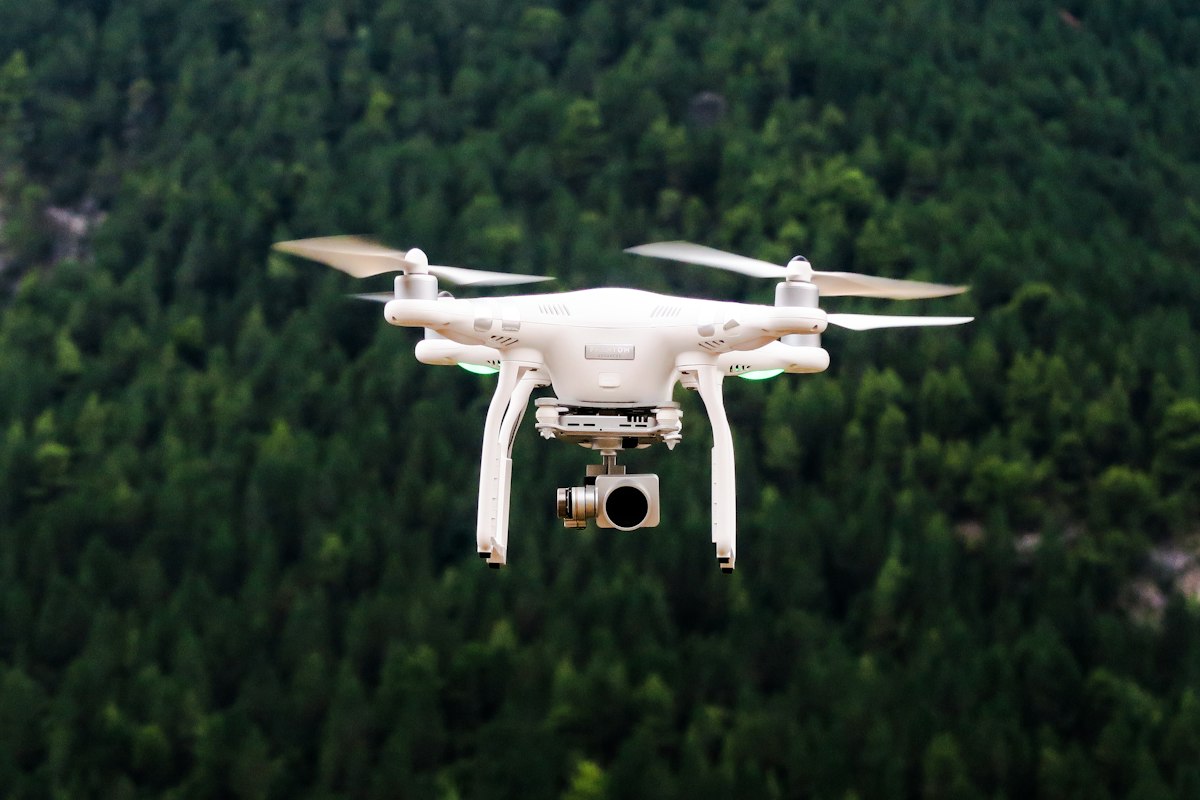
Airborne LiDAR is flown on aircraft and drones, and it covers large areas quickly: a single flight can map hundreds of square kilometres at a density of several points per square metre. Drone LiDAR is the fastest-growing segment, because a drone can fly low and slow over a small site and deliver very dense data at a fraction of the cost of a manned flight. Terrestrial LiDAR uses a scanner on a tripod, and it captures millimetre-detail 3D models of buildings, bridges, cliffs and crime scenes, one station at a time. Mobile LiDAR mounts the scanner on a car or a backpack, and it maps roads, railways and city streets as it moves, which is how the high-definition maps used by self-driving cars are made. Satellite LiDAR, such as NASA's GEDI instrument on the space station and ICESat-2, measures forest height and ice sheet elevation from orbit, at a global scale no aircraft can match.
What LiDAR Data Looks Like and How to Use It
LiDAR data comes as a point cloud, usually in the LAS or LAZ format, with each point carrying its coordinates plus extra information such as intensity, return number, classification and colour. The first step in using it is classification: separating ground points from vegetation, buildings, water and noise, which most software does semi-automatically. From the ground points you build a digital terrain model, a bare-earth elevation surface, and from the first returns you build a digital surface model that includes trees and buildings. The difference between the two gives you tree heights and building heights. QGIS handles point clouds increasingly well for free, and dedicated tools such as CloudCompare, LAStools and ArcGIS Pro offer deeper processing. The data is heavy: a single square kilometre at high density can be several gigabytes, so plan your storage before you fly.
Where LiDAR Is Used in 2026
LiDAR is now a standard tool in surveying, forestry, flood modelling, archaeology, mining, construction and autonomous vehicles. National mapping agencies in many countries publish free LiDAR-derived elevation data: the USGS 3DEP programme in the United States, the Environment Agency in England, and similar open datasets elsewhere. The newest frontier is the NASA-ISRO NISAR mission, which opened its radar data to the public in 2026 and complements optical LiDAR with radar that sees through cloud. If you work with maps, elevation or 3D data, LiDAR is no longer a specialist curiosity. It is the most accurate way to measure the shape of the world, and the data is getting cheaper and more open every year. Start with a free national dataset, open it in QGIS, and see your landscape the way a laser sees it.
More from FreeSky GeoData