NDVI From Sentinel-2 in QGIS: Calculate Vegetation Health in 20 Minutes
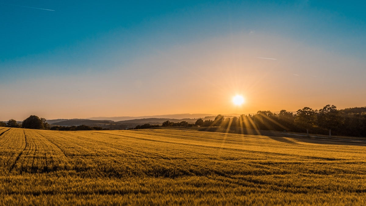
- Primary Signal: NDVI From Sentinel-2 in QGIS: Calculate Vegetation Health in 20 Minutes
- Overview: NDVI turns Sentinel-2 red and near-infrared bands into a map of vegetation health. This QGIS tutorial covers bands, the raster calculator and reading the result....
- Verification: Analyzed and compiled by FreeSky GeoData editorial monitoring desk.
NDVI, the Normalised Difference Vegetation Index, is the most widely used satellite measure of vegetation health, and it is simple enough to calculate in a single QGIS session. Healthy green leaves absorb red light for photosynthesis and reflect near-infrared light strongly, while stressed, dry or absent vegetation does not show that contrast. NDVI turns that difference into a number between minus one and plus one, producing a map where vigorous crops glow and bare soil, water and concrete stay flat.
The formula is NDVI equals near-infrared minus red, divided by near-infrared plus red. Normalising by the sum of the two bands cancels out much of the variation caused by sunlight angle and terrain shading, which is why NDVI values are comparable across scenes and dates. Values near one indicate dense, healthy vegetation; values around zero indicate bare soil or rock; negative values usually mean water, snow or cloud.
For Sentinel-2, the bands you need are Band 8, the near-infrared band at 10-metre resolution, and Band 4, the red band, also at 10 metres. Both are available in Level-2A products, which are atmospherically corrected and ready for index calculation. Download the scene from the Copernicus Browser or EarthExplorer, extract the SAFE archive, and locate the 10-metre resolution JPEG2000 files for Bands 4 and 8.
In QGIS, load both bands, then open the Raster Calculator. The expression is simple: (B08 minus B04) divided by (B08 plus B04), using the layer names QGIS assigns to your loaded bands. Make sure both layers share the same coordinate reference system and extent; if QGIS warns about mismatched grids, reproject or clip one to match the other before calculating. Run the calculation and save the output as a GeoTIFF.
Styling turns the raw numbers into a readable map. Apply a single-band pseudocolour ramp from red through yellow to dark green, set the value range from minus 0.2 to 1, and the vegetation pattern appears immediately: fields, forests and parks in green, bare ground in brown, water in blue or red depending on your ramp. Add your area boundary or a basemap underneath to give the index geographic context.
Interpreting NDVI honestly matters. A low NDVI value does not automatically mean a crop is failing: it could reflect the growth stage, recent harvest, soil background or a dry spell that the plants will recover from. Compare NDVI across dates for the same field, rather than judging a single scene in isolation, and ground-truth surprising results with a field visit or a look at true-colour imagery before drawing conclusions.
Common mistakes are easy to avoid. Using Level-1C data without atmospheric correction skews values; mixing bands of different resolutions without resampling creates alignment errors; and forgetting to mask clouds produces false low values where cloud shadows fall. A quick cloud check against the scene's true-colour preview prevents most of these errors.
Once the workflow clicks, NDVI becomes a gateway skill. The same raster calculator approach produces other indices: NDWI for water, NDBI for built-up areas, and SAVI for sparse vegetation where soil background dominates. Learn NDVI well and the whole family of spectral indices opens up, all from free Sentinel-2 data and free QGIS software.
One more practical note: save your NDVI workflow as a QGIS graphical model once it works, so the same calculation runs identically on the next scene without retyping the expression. Repeatability is what turns a one-off index map into a monitoring system, and a saved model also documents exactly which bands and formula produced each output, which matters when results are shared or questioned.
📖 Continue Reading the Full Story
Continue reading this article on FreeSky GeoData.
⚡ Access Full Content NowMore from FreeSky GeoData



 ☁️ FreeSky Cloud
Case Study & Analysis: BMI Calculator — Body Mass Index & Healthy Weight (Day 19 Guide)
Real-world results and lessons from BMI Calculator — Body Mass Index & Healthy Weight on FreeSky Cloud. Discov...
 🛰️ FreeSky Aerial
Future Forecast: BMI Calculator — Body Mass Index & Healthy Weight (Day 20 Guide)
Next-generation developments in BMI Calculator — Body Mass Index & Healthy Weight on FreeSky Aerial. Discover ...
 🔭 FreeSky Cosmos
Operational Standard: BMI Calculator — Body Mass Index & Healthy Weight (Day 21 Guide)
Establishing consistent quality with the BMI Calculator — Body Mass Index & Healthy Weight on FreeSky Cosmos. ...
 🌍 FreeSky Remote
Speed & Latency Secrets: BMI Calculator — Body Mass Index & Healthy Weight (Day 23 Guide)
Achieving sub-second response times using BMI Calculator — Body Mass Index & Healthy Weight on FreeSky Remote....