Sentinel-2 vs Landsat: Which Free Satellite Data Should You Use?
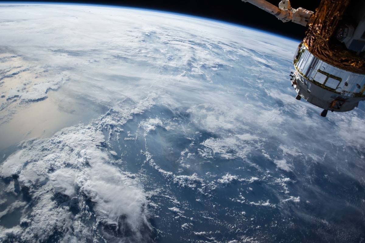
- Primary Signal: Sentinel-2 vs Landsat: Which Free Satellite Data Should You Use?
- Overview: Sentinel-2 is sharper and fresher; Landsat reaches back to 1972. Learn when to use each free dataset — and when the best answer is both....
- Verification: Analyzed and compiled by FreeSky GeoData editorial monitoring desk.
Sentinel-2 and Landsat are the two free satellite datasets every GIS user meets first. The honest answer is that they are complementary, and the right choice depends on your question — not on which satellite is newer.
The core differences are resolution, revisit time, and history. Sentinel-2 images at 10 metres and revisits roughly every five days. Landsat images at 30 metres and revisits roughly every sixteen days per satellite, but its archive stretches back to 1972.
Choose Sentinel-2 when you need current detail. Its 10-metre resolution shows field boundaries and urban features that blur at 30 metres, and its five-day revisit is far better for tracking fast change like crop growth or a flood.
Choose Landsat when time depth matters. A question like how a city has grown since 1990 can only be answered with Landsat, because Sentinel-2 did not exist before 2015. Its thermal band is another advantage for surface temperature studies.
Practical differences matter too. Both datasets are free, but their access routes differ — Copernicus for Sentinel, EarthExplorer for Landsat — and cloud cover affects both equally, since optical satellites cannot see through cloud.
The best projects often use both: map current land cover from Sentinel-2, then extend the story backwards with Landsat to show how that cover has changed over decades.
There is also a product that combines both datasets for you. The Harmonized Landsat and Sentinel-2 project, known as HLS, processes Landsat and Sentinel-2 observations into a single consistent dataset with common bands, resolution, and grids, so you can treat the two satellites as one virtual constellation with a revisit of just a few days. HLS is especially useful for time series work, because it removes much of the fiddly work of matching bands and grids between missions. It is not a replacement for understanding the original datasets — knowing where the data comes from still matters when something looks wrong — but for monitoring vegetation, water, or land change through a season, HLS gives you the best of both satellites in one place, and it is free like its parents.
📖 Continue Reading the Full Story
Continue reading this article on FreeSky GeoData.
⚡ Access Full Content NowMore from FreeSky GeoData


 🌍 FreeSky Remote
When Should You Quit Freelancing and Get a Full-Time Job?
Freelancing is not for everyone, and quitting it is not failure. These are the honest signals that a full-time...
 ⚡ CyberTech 568
10 Free AI Tools That Save Freelancers 10 Hours a Week
Ten genuinely free AI tools for writing, design, and admin — build them into your workflow and reclaim roughly...
 🤖 WinBar AI
AI Phone Support vs Hiring Agents: What Should Betting Platforms Budget?
Hire agents, pay an answering service, or use AI voice agents? Honest costs and tradeoffs for betting platform...
 ☁️ FreeSky Cloud
Best Free-Tier Email Marketing Tools for Small Lists in 2026
You don't need a paid plan to start email marketing. Compare free tiers on send limits, automation, and brandi...