How to Download OpenStreetMap Data into QGIS: Geofabrik, Overpass and QuickOSM
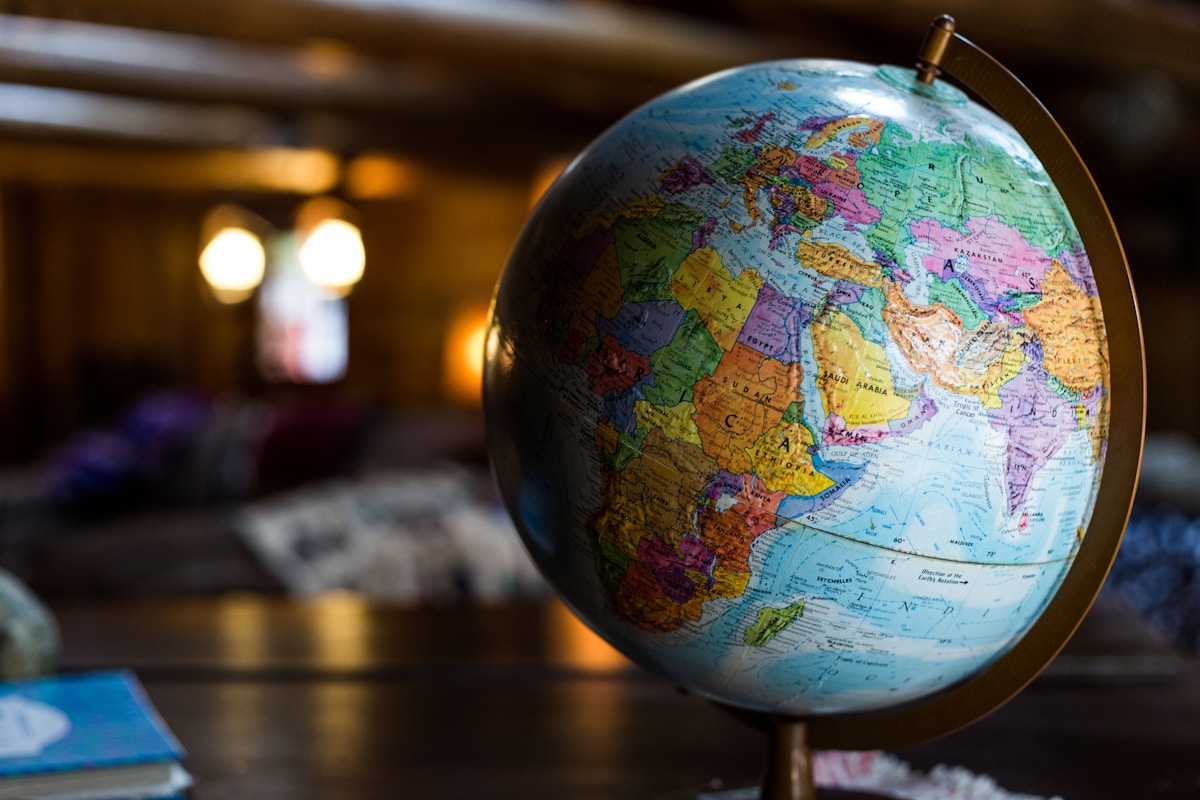
- Primary Signal: How to Download OpenStreetMap Data into QGIS: Geofabrik, Overpass and QuickOSM
- Overview: Three practical routes to get OpenStreetMap data into QGIS — Geofabrik regional extracts, Overpass and QuickOSM targeted queries, and XYZ basemaps — with file-size and timeout tips...
- Verification: Analyzed and compiled by FreeSky GeoData editorial monitoring desk.
OpenStreetMap is the largest free map database in the world, built by volunteers who trace roads, buildings, rivers and boundaries. The challenge is not finding the data, but getting exactly the slice you need into QGIS without downloading the whole planet. Three routes cover almost every project: a regional extract from Geofabrik, a targeted query with Overpass Turbo or QuickOSM, and a live basemap through XYZ tiles for context.
Use Geofabrik when you need a whole city, district or country. Visit its download server, drill down from continent to country to region, and choose the shapefile or PBF extract. The shapefile download arrives as several layers — buildings, roads, waterways, land use, places and points of interest — each ready to drag into QGIS. For a medium-sized city this file may be 40 to 120 megabytes, which QGIS opens comfortably, whereas a country extract can exceed a gigabyte and is better handled as PBF or loaded into PostGIS first. Always read the included readme, because Geofabrik layer names and tag mappings change occasionally.
OpenStreetMap quality varies by place, and a responsible analyst checks it before publishing. Compare OSM roads against a recent satellite basemap for a sample of streets, count missing buildings in a test neighbourhood, and look at the last-edit date for key features. In well-mapped cities OSM often matches commercial data closely, while in rural areas a road may be missing, misclassified or drawn from an old GPS trace. When you find gaps, you can improve the map itself through the OpenStreetMap editor, which helps the next user too, but never silently edit source data to fit your analysis; document the gap, use an alternative source for that area, and note the limitation in your report.
📖 Continue Reading the Full Story
Continue reading this article on FreeSky GeoData.
⚡ Access Full Content NowMore from FreeSky GeoData



 🤖 WinBar AI
Step-by-Step Tutorial: YouTube Thumbnail Downloader & Grabber — 4K (Day 2 Guide)
How to accurately use the YouTube Thumbnail Downloader & Grabber — 4K on WinBar AI. Discover essential practic...
 🏆 WorldCup2026 Cities
Monterrey World Cup 2026 Guide: Altitude, Heat and the Mountain Stadium
Estadio BBVA sits beneath the Sierra Madre in Mexico's hottest host city: how to handle heat and altitude, and...
⚡ CyberTech 568
Step-by-Step Tutorial: Playback Speed Calculator — Video Time at Any Speed (Day 2 Guide)
How to accurately use the Playback Speed Calculator — Video Time at Any Speed on CyberTech 568. Discover essen...
 ☁️ FreeSky Cloud
ROI & Value Audit: GST Calculator — Add or Extract GST & VAT (Day 15 Guide)
How to save time and eliminate guesswork with GST Calculator — Add or Extract GST & VAT on FreeSky Cloud. Disc...