Photogrammetry Basics: How Drone Mapping Accuracy Actually Works
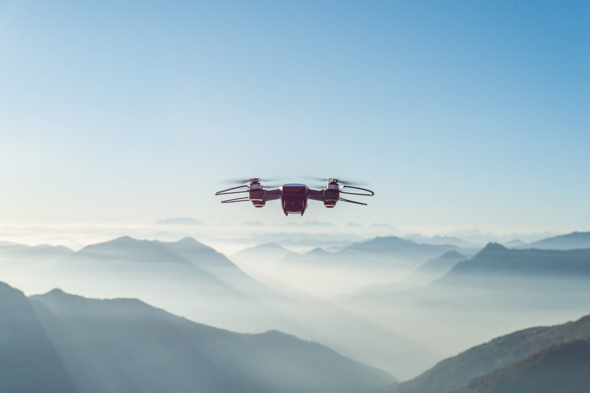
- Primary Signal: Photogrammetry Basics: How Drone Mapping Accuracy Actually Works
- Overview: Drone maps look precise, but their accuracy depends on overlap, ground control, and camera geometry, not just the drone. This guide explains how photogrammetry works and what contr...
- Verification: Analyzed and compiled by FreeSky GeoData editorial monitoring desk.
Photogrammetry is the science of making measurements from photographs, and drone mapping applies it at scale: a drone photographs an area from many overlapping angles, and software stitches those images into an orthomosaic map and a 3D elevation model. The results can look like satellite imagery with astonishing detail, but their accuracy is not automatic. It depends on how the flight was planned, how the camera was calibrated, and whether the model was anchored to the real world with ground control.
The core idea is triangulation. When the same ground feature appears in many photographs taken from different positions, software can calculate where the camera was for each photo and where the feature sits in three dimensions. More overlap means more measurements per feature and a stronger solution, which is why mapping flights use 75 to 80 percent forward overlap and 60 to 70 percent side overlap, far more than a casual photo flight. Without that redundancy, the model warps, especially at edges and over uniform surfaces.
Flying height sets your ground sample distance, the size of each pixel on the ground. Lower flights give finer detail but cover less area and take more photos, while higher flights cover more ground with coarser pixels. A common rule is to choose the height that gives the resolution your deliverable actually needs, rather than the finest possible, because extra detail costs flight time, processing time, and storage for no benefit if your client only needs a 5-centimetre map.
Ground control points, or GCPs, are markers on the ground whose positions are measured precisely with survey-grade GNSS equipment. Including them in processing anchors the photogrammetric model to real-world coordinates and corrects systematic errors like tilt and scale drift. Without GCPs, a drone map may look right but can be shifted by metres, because consumer drone GPS is only accurate to a few metres on its own.
Uniform surfaces are the classic problem: water, fresh snow, sand, and dense vegetation give the software few distinct features to match, producing noisy or hole-filled models. Flying when the Sun is high reduces shadows that help matching, while strong wind causes motion blur and inconsistent overlap. Rolling shutter distortion on some cameras, poor camera calibration, and too few photos at site edges all degrade results in ways that look subtle on screen but matter for measurements.
📖 Continue Reading the Full Story
Continue reading this article on FreeSky GeoData.
⚡ Access Full Content NowMore from FreeSky GeoData

 🛰️ FreeSky Aerial
After-Hours Answering for Charter Operators: Which Option Actually Works?
Your best charter inquiries arrive after hours. An honest comparison of extended dispatch hours, traditional a...
 🔭 FreeSky Cosmos
After-Hours Answering for Space Experiences: Which Option Actually Works?
Your best inquiries arrive across every time zone. An honest comparison of extended staff hours, traditional a...
 ⚡ CyberTech 568
Best Free AI Voice Changer for Gaming in 2026
A good voice changer adds fun to game night without lag or robotic audio. Compare the best free options for Di...
 🤖 WinBar AI
How to Spot Sharp Money Movement in Betting Odds Before the Line Settles
Sharp money is professional cash moving odds before the public catches on. Here is how to read reverse line mo...