How to Download Sentinel-2 Imagery Free: Copernicus Browser Step by Step
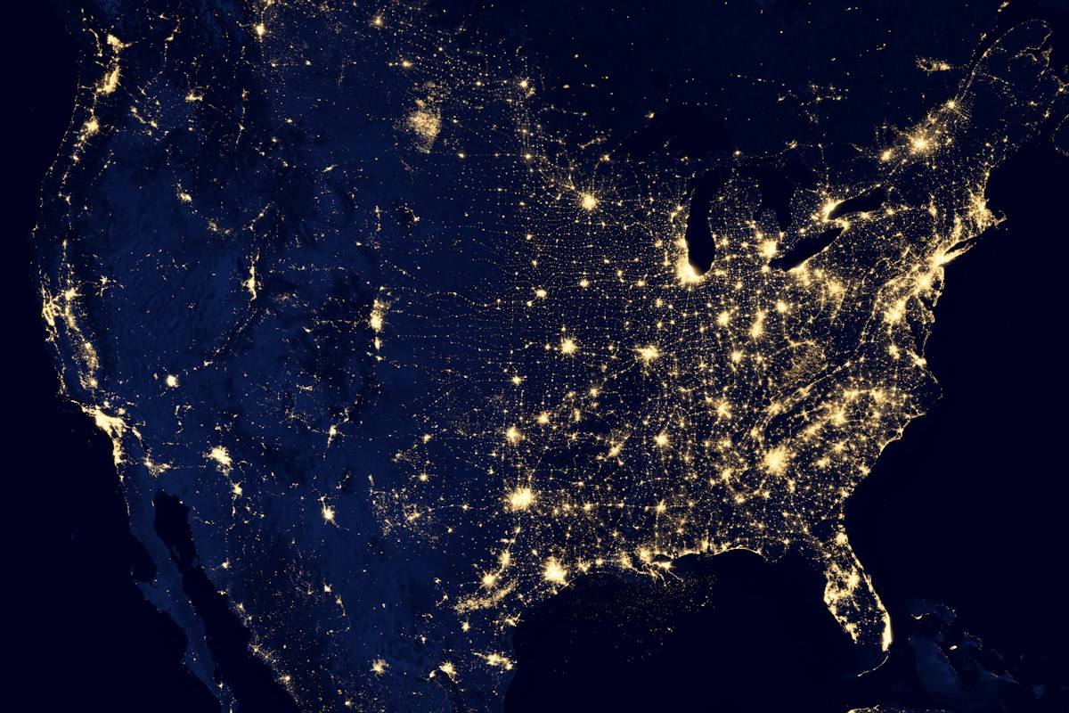
- Primary Signal: How to Download Sentinel-2 Imagery Free: Copernicus Browser Step by Step
- Overview: Sentinel-2 gives free 10-metre satellite imagery with a 5-day revisit. This tutorial walks through the Copernicus Browser, product levels and download options....
- Verification: Analyzed and compiled by FreeSky GeoData editorial monitoring desk.
Sentinel-2 is the workhorse of free satellite imagery. Operated by the European Space Agency under the Copernicus programme, its two satellites, Sentinel-2A and 2B, together revisit every point on Earth about every five days, capturing multispectral imagery at 10, 20 and 60 metre resolution depending on the band. The data is free, open and global, which makes it the default choice for agriculture, forestry, urban mapping, water monitoring and countless student projects.
Access starts with a free Copernicus account. Register at the Copernicus Data Space Ecosystem, then open the Copernicus Browser, which lets you visualise data before downloading. The browser has two modes that confuse beginners: Visualize, where you preview imagery in different band combinations, and Search, where you find and download the actual product files. Use Visualize to check cloud cover and quality, then switch to Search to download.
In the browser, set your area of interest by drawing a box or searching for a place name, then choose Sentinel-2 as the data collection and set a date range. Narrow the results with a cloud cover filter, since a scene that is 80 percent cloud is useless for most analysis even if it covers your area perfectly. Sort results by date or cloud cover, and preview each candidate as a true-colour or false-colour composite before committing to a download.
Product levels matter, and choosing wrong is the most common beginner error. Level-1C products are top-of-atmosphere reflectance, meaning the data has not been corrected for atmospheric effects. Level-2A products are atmospherically corrected to bottom-of-atmosphere reflectance and are ready for most analysis, including vegetation indices. Unless you have a specific reason to process from Level-1C yourself, choose Level-2A.
Downloads arrive as compressed SAFE files containing JPEG2000 band files organised by resolution, plus metadata. A single Sentinel-2 tile can be close to a gigabyte, so download over a stable connection and expect it to take a while. If you need many scenes, the Copernicus API and tools like sentinelsat for Python automate searching and downloading, which beats clicking through the browser for a time series.
Once downloaded, open the data in QGIS by loading the individual band files or using a virtual raster to combine them. The key bands for beginners are Band 4 (red), Band 3 (green), Band 2 (blue) for true colour, and Band 8 (near-infrared) for vegetation work. A true-colour composite of Bands 4, 3 and 2 looks like an aerial photograph; swapping in Band 8 produces the false-colour images where healthy vegetation appears bright red.
For quick visualisation without downloading, the Copernicus Browser itself can show indices like NDVI directly, and USGS EarthExplorer offers Sentinel-2 alongside Landsat if you prefer that interface. But for serious analysis, downloading the Level-2A product and working locally in QGIS or Python gives you full control over band maths, classification and time-series comparison.
Sentinel-2's combination of free access, 10-metre resolution and five-day revisit has no real rival for most users. Learn the browser, respect the product levels, filter ruthlessly for cloud, and you will have a renewable supply of current imagery for any project that needs eyes on the ground from orbit.
A final tip for regular Sentinel-2 users: set up a saved search or an API query for your area of interest so new scenes arrive in your workflow automatically, and keep a simple log of the scenes you download, with dates and cloud cover, so a time series stays organised. The archive grows every five days, and the analysts who use it best are the ones who treat it as a standing data feed rather than a one-off download.
📖 Continue Reading the Full Story
Continue reading this article on FreeSky GeoData.
⚡ Access Full Content NowMore from FreeSky GeoData



 🤖 WinBar AI
Step-by-Step Tutorial: YouTube Thumbnail Downloader & Grabber — 4K (Day 2 Guide)
How to accurately use the YouTube Thumbnail Downloader & Grabber — 4K on WinBar AI. Discover essential practic...
⚡ CyberTech 568
Step-by-Step Tutorial: Playback Speed Calculator — Video Time at Any Speed (Day 2 Guide)
How to accurately use the Playback Speed Calculator — Video Time at Any Speed on CyberTech 568. Discover essen...
 🛰️ FreeSky Aerial
How to Shoot a Drone Hyperlapse: A Beginner's Step-by-Step Guide
A hyperlapse turns a slow drone flight into a spectacular rushing video. Pick a subject with a clear path, use...
 💰 Free2Rich Online
How to Start a Print on Demand Store for Free: A Beginner's Step-by-Step Guide
Print on demand lets you sell custom shirts, mugs, and posters without inventory or upfront costs. Follow this...