QGIS Field Calculator: Expressions Every Beginner Should Learn

- Primary Signal: QGIS Field Calculator: Expressions Every Beginner Should Learn
- Overview: The Field Calculator turns your attribute table from a spreadsheet into a tool: area, length, categories and labels, all computed in a few expressions you can learn in one sitting....
- Verification: Analyzed and compiled by FreeSky GeoData editorial monitoring desk.
Most QGIS beginners treat the attribute table as a place to look things up. The Field Calculator turns it into a place to create things: areas, lengths, categories, labels, and cleaned-up values, all computed from your data with short expressions. A handful of expressions covers most daily work, and learning them early changes how you think about GIS data.
The two most useful expressions are $area and $length. Open the Field Calculator, create a new decimal field, and enter $area to fill it with each polygon's area in the layer's map units, or $length for line lengths. For reliable numbers, make sure the layer is in a projected coordinate system, not raw latitude and longitude, or your 'areas' will be in meaningless square degrees.
Combine geometry with rounding for presentation: round($area / 10000, 2) gives hectares to two decimal places. That one expression replaces a spreadsheet round-trip, and because it is computed from the geometry, it updates if the feature changes shape. Store computed values as fields when you need them for labelling or analysis, and compute on the fly in labels when you only need them for display.
The most expensive Field Calculator mistake is computing geometry in the wrong coordinate system. Running $area on a layer in latitude and longitude gives square degrees, a number that looks precise and means nothing. Always check the layer's coordinate system first, and reproject to a suitable projected system before computing areas or lengths that anyone will rely on.
The second classic mistake is creating a virtual field when you needed a permanent one, or the reverse. Virtual fields update automatically but are not saved in most file formats, so they vanish when you share the layer. Permanent fields are stored but go stale if the geometry changes. Use virtual fields for display-only calculations and permanent fields for values that must travel with the data, and label the field clearly so the next person knows which kind it is.
📖 Continue Reading the Full Story
Continue reading this article on FreeSky GeoData.
⚡ Access Full Content NowMore from FreeSky GeoData



 ⚡ CyberTech 568
Step-by-Step Tutorial: Playback Speed Calculator — Video Time at Any Speed (Day 2 Guide)
How to accurately use the Playback Speed Calculator — Video Time at Any Speed on CyberTech 568. Discover essen...
 ☁️ FreeSky Cloud
ROI & Value Audit: GST Calculator — Add or Extract GST & VAT (Day 15 Guide)
How to save time and eliminate guesswork with GST Calculator — Add or Extract GST & VAT on FreeSky Cloud. Disc...
 🛰️ FreeSky Aerial
How to Shoot a Drone Hyperlapse: A Beginner's Step-by-Step Guide
A hyperlapse turns a slow drone flight into a spectacular rushing video. Pick a subject with a clear path, use...
 🔭 FreeSky Cosmos
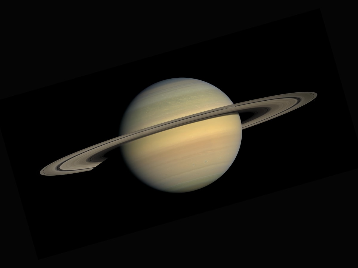
How to See Saturn's Rings With Binoculars: A Practical Beginner's Guide
Saturn's rings are visible in ordinary 10x50 binoculars if you know what to look for and hold them steady. Thi...