QGIS is free and ArcGIS is the industry standard, so beginners face a real choice. This comparison covers cost, learning curve, jobs, and which tool to start with depending on your goals.
Archive: 2026
211 stories published in 2026
You do not need a budget to work with satellite imagery: several major programs give it away. This guide compares the best free sources, their resolution, and how to actually download data.
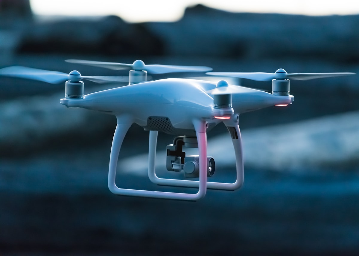
Drone maps look precise, but their accuracy depends on overlap, ground control, and camera geometry, not just the drone. This guide explains how photogrammetry works and what controls its accuracy.
GIS careers range from technician roles to spatial data science, and the path in is clearer than it looks. This roadmap covers the skills employers actually ask for, the portfolio that gets interviews, and realistic timelines.
OpenStreetMap is the free map of the world, built by volunteers, and anyone can improve it. This beginner's guide walks you through your first edits, from creating an account to mapping a building correctly.
NDVI turns satellite images into a simple crop-health signal, but it is easy to misread. This guide explains what NDVI actually measures, how farmers use it, and where it misleads.
GPS points that drift by metres are usually not broken hardware but physics, signal, and settings. This guide explains the main error sources and the practical fixes mappers actually use.
LiDAR and photogrammetry both build 3D maps, but they fail in different places and cost very different amounts. This comparison helps you choose based on terrain, vegetation, budget, and deliverables.
Satellites are the backbone of modern climate monitoring, measuring ice, sea level, temperature, and greenhouse gases from orbit. This guide explains which sensors track what, and how the records are built.
Making your first map in QGIS is satisfying and simpler than it looks. This step-by-step guide takes you from downloading free data to a polished, print-ready map layout.
Sentinel-2 gives you free 10-metre multispectral imagery of anywhere on Earth, updated every few days. Here is how to find, preview, and download the right scene.
The Normalised Difference Water Index turns satellite imagery into a clear map of open water. This tutorial shows the formula, the QGIS workflow, and how to read the result.
Old paper maps become useful again once they are georeferenced. This guide shows how to add control points, choose a transformation, and check accuracy in QGIS.
Google Earth Engine puts planetary-scale satellite analysis in your browser for free. This first project takes you from sign-up to a mapped, filtered Sentinel-2 image.
A digital elevation model can become a slope map with one QGIS tool, revealing steep ground, landslide risk, and the best routes. Here is the full workflow.
Shapefiles are the old standard and GeoPackage is the modern replacement. This comparison covers limits, compatibility, and when each format still makes sense.
Free elevation data comes from several missions with different resolutions, accuracies, and quirks. This comparison helps you pick the right DEM for your project.
Supervised classification turns satellite imagery into a land cover map by learning from examples you label. Here is a complete beginner workflow using the SCP plugin.
Buffer analysis draws zones around features at a set distance, answering questions like how many homes sit within 500 metres of a park. Here is how to run it well.
Binance co-CEO Yi He says losses from the 29 October 2026 breach will be covered from company funds and the SAFU emergency fund, which holds about $1 billion in bitcoin.
NDVI turns two Landsat bands into a map of vegetation health in minutes. This guide walks through downloading the right scene, running the Raster Calculator in QGIS, and styling the result.
Clipping a raster to your study area boundary makes maps cleaner, files smaller, and analysis faster. Here is how to use Clip Raster by Mask Layer in QGIS and fix the three most common problems.
QGIS Print Layout turns analysis into a map other people can actually read. Learn to set page size and scale, write useful titles, build a clean legend, and export print-ready PDFs.
Sentinel-2 gives you free 10-metre satellite imagery every five days, but the download portal confuses beginners. Here is how to get a Copernicus account, choose Level 2A, and open the bands in QGIS.