LiDAR vs Photogrammetry for Mapping: Which Method Wins Your Project?
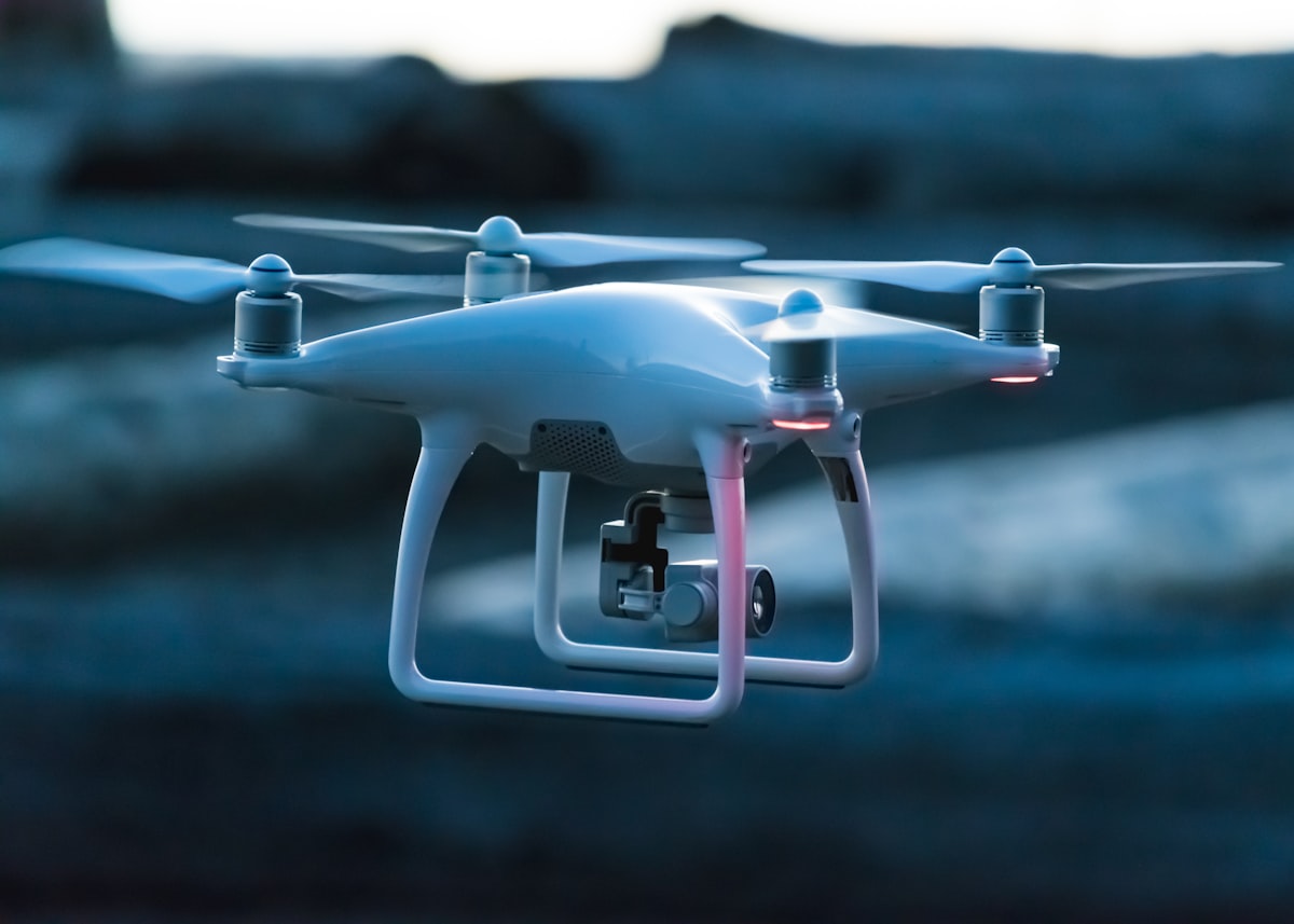
- Primary Signal: LiDAR vs Photogrammetry for Mapping: Which Method Wins Your Project?
- Overview: LiDAR and photogrammetry both build 3D maps, but they fail in different places and cost very different amounts. This comparison helps you choose based on terrain, vegetation, budge...
- Verification: Analyzed and compiled by FreeSky GeoData editorial monitoring desk.
When you need a detailed 3D map or elevation model, two technologies dominate: LiDAR, which measures distance with laser pulses, and photogrammetry, which reconstructs 3D geometry from overlapping photographs. Both can be flown on drones, both produce point clouds and surface models, and both are marketed as the best choice. The honest answer is that each wins in different conditions, and choosing well saves money and avoids a deliverable that looks good but measures badly.
LiDAR works by emitting rapid laser pulses and timing their returns, directly measuring distance to surfaces, including multiple returns from vegetation layers, which lets it see the ground beneath a forest canopy. Photogrammetry works indirectly, matching features across photographs to triangulate positions, which produces beautiful colour imagery and orthomosaics but struggles where surfaces are uniform or hidden. That fundamental difference, direct measurement versus inferred geometry, drives almost every practical trade-off.
Under vegetation, LiDAR is decisively better: some laser pulses slip through gaps in leaves and return from the ground, producing a true terrain model where photogrammetry only models the canopy top. For forestry, flood modelling, and archaeological survey under tree cover, LiDAR is often the only viable option. On bare, well-textured ground, photogrammetry can match LiDAR's horizontal accuracy and comes close vertically, at much lower cost.
Cost is where photogrammetry wins clearly: a camera drone and processing software cost a fraction of a LiDAR sensor, which remains an expensive payload, and photogrammetry processing uses standard computers. LiDAR sensors, especially lightweight drone units, cost many times more, and their data still needs classification to separate ground, vegetation, and buildings. For small sites, open ground, and visual deliverables, photogrammetry's value is hard to beat.
Choose LiDAR when vegetation obscures the ground, when vertical accuracy is critical, when working in low light or shadowed terrain, or when the client requires a classified terrain model. Choose photogrammetry when the ground is open and textured, when a visual orthomosaic is the main deliverable, when budget is tight, or when the site is small enough that ground control can be done thoroughly.
Many experienced teams now fly hybrid missions, capturing LiDAR for terrain and photogrammetry imagery in the same flight, then merging the two into a single deliverable that has both accurate ground heights and rich colour. The combined cost is higher than either method alone, but for projects where both terrain accuracy and visual presentation matter, the hybrid result often satisfies clients who would otherwise question one dataset or the other.
📖 Continue Reading the Full Story
Continue reading this article on FreeSky GeoData.
⚡ Access Full Content NowMore from FreeSky GeoData


 ☁️ FreeSky Cloud
Best Free Tier Cloud Hosting 2026: Host Projects Without Paying
Compare the best free tier cloud hosting options for 2026, including what is genuinely free, what limits apply...
🔭 FreeSky Cosmos
AI Phone Answering or Hiring Staff: Which Wins for a Space Business?
Hire bookings staff, pay an answering service, or use AI? Honest monthly costs, hidden tradeoffs, and where ea...
 🌍 FreeSky Remote
The Best Freelance Rate Calculator Methods for Beginners (2026)
New freelancers almost always undercharge. Here are the rate-setting methods that actually work for beginners ...
 ⚡ CyberTech 568
Best Free AI Voice Changer for Gaming in 2026
A good voice changer adds fun to game night without lag or robotic audio. Compare the best free options for Di...